Comox Valley Project Watershed is the recipient of a $2,800 Comox Valley Community Foundation grant for the purchase of a high gain antenna to support a project in partnership with the Comox Valley Conservation Strategy (CVCS). The aim of the project is to protect sensitive habitats in the Comox Valley, especially those under threat from development (e.g. those in settlement expansion areas), so that these areas are protected for generations of Comox Valley residents and tourists to enjoy. The first part of this process is to map these areas so that local governments, developers and the general public know they exist. The second part is to work with local governments and developers to make sure these areas get protected, this can happen through tools such as the Sensitive Habitat Atlas and Development Permits. Over the past two years, Project Watershed, working with the CVCS has had considerable success with this strategy. Local governments are in support of the broad priority ecological areas presented by the CVCS, now more detail information is needed to focus on specific areas such as wetlands, the Courtenay River Estuary, and wildlife corridors.
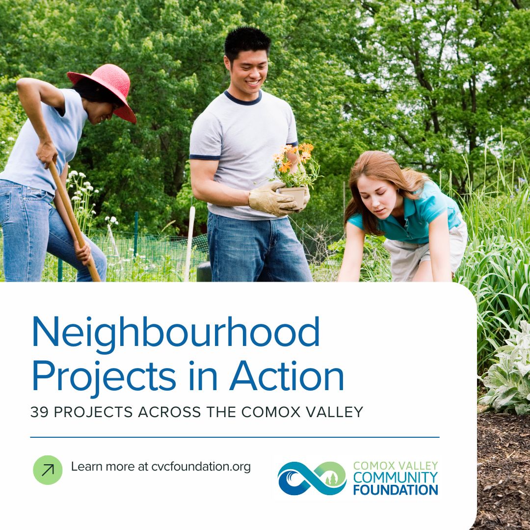
This year one of the focus areas will be wetlands. Wetlands are extremely important habitats for a large diversity of plants and animals many of which are rare or endangered. Wetlands also perform an array of important ecosystem services that humans depend upon. They clean water moving through them by filtering out sediment, excess nutrients, and pollutants. They provide habitat for plants which help mitigate shoreline erosion. They are vital to flood control as they absorb water and slow flow. They are also an important fresh water resource as they collect and store water and are often connected to aquifers many of which supply well water for Comox Valley residents. To date there has been no comprehensive mapping of wetlands in the Comox Valley. Some wetlands were mapped as part of the Sensitive Ecosystem Inventory (SEI) and there are special conditions that must be met by developers developing in and around them. However, there are many wetlands that are not mapped by the SEI; if the existence is unknown then there is nothing holding a developer to meet these conditions and wetlands are often infilled, paved over etc… To ensure that these wetlands do not get lost Project Watershed plans to map them. This mapping will consist of two steps. Step one is to identify wetlands areas through air photo digitization in the office. Airphoto digitization is a coarse look at what exists on the ground. Wetlands are often hidden by canopy as they are surrounded by trees and bush, some are also small in area or ephemeral. It is not easy to define their boundaries or in some cases see them at all from air photos. Which brings us to step two. Step two is to groundtruth the identified areas. Groundtruthing entails going into the field with GPS units to walk the boundary of the wetland. This allows them to collect points and accurately map the wetland. Unfortunately the same canopy that hides the wetland in air photos also masks the signal of GPS units. To get around this obstacle, with this money they will purchase a Zephyr Antenna which will boost the signal of the GPS unit under canopy allowing the collection of accurate information on wetland locations. Once mapped, Project Watershed, through the Comox Valley Conservation Strategy, can work with local governments to include this information in their Sensitive Habitat Atlas which is referred to during the development application process. This information will guide better land use decision making leading to a healthier environment and healthier community.